Vacan
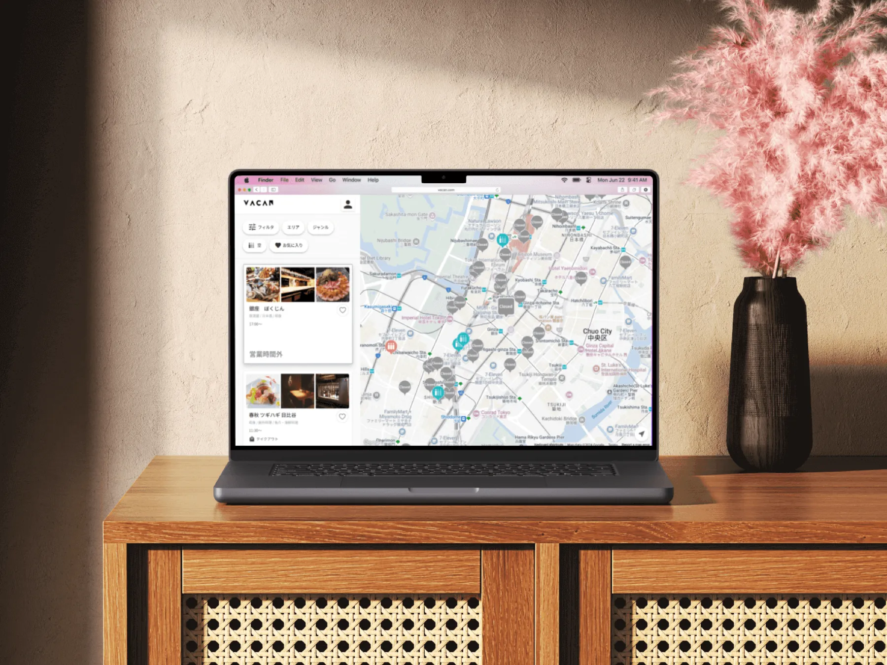
I redesigned Vacan Maps, an AI-powered web app that delivers live crowd tracking across public spaces.
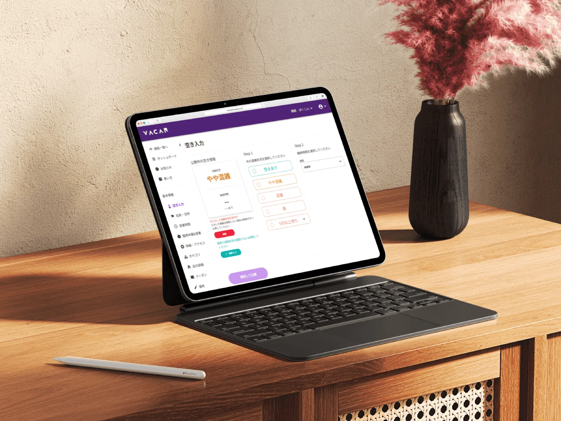
Turning live sensor data into a map people trust.
Vacan uses AI and IoT sensors to measure how busy a place is in real time, from restaurants to restrooms to transit. Vacan Maps is the public-facing product that turns that stream of data into something anyone can read at a glance before they leave the house.
I led the redesign of the core map product: the visual system, the research behind it, and the motion that makes live data feel alive.
Density is hard to read on a map.
Crowd levels change constantly and vary by place type. The old interface made it hard to answer the only question users actually have: is it busy right now, and should I go? The redesign had to make status instantly legible, scale across thousands of locations, and stay calm rather than alarming.
Drag the handle to compare the original interface with the redesign.
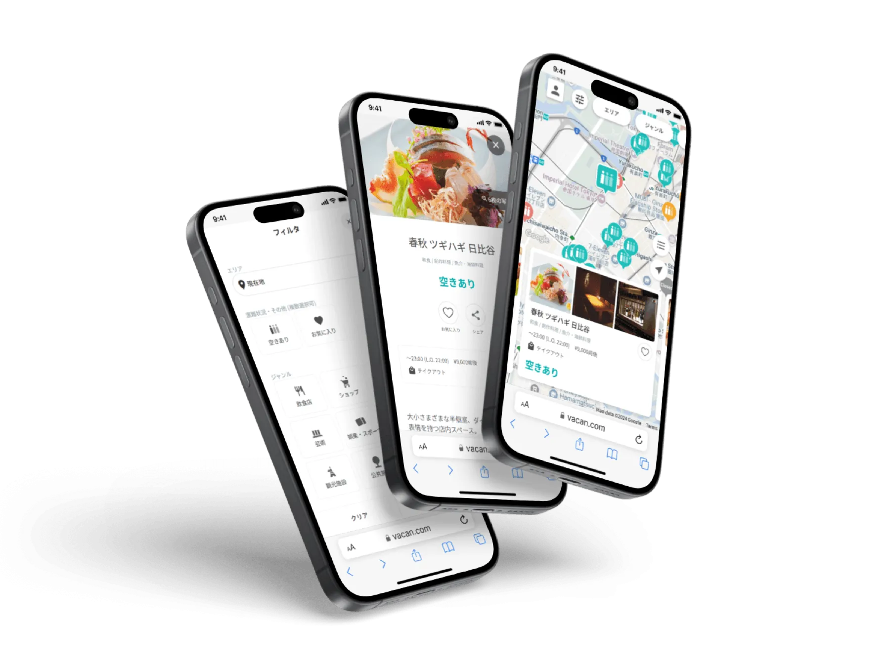
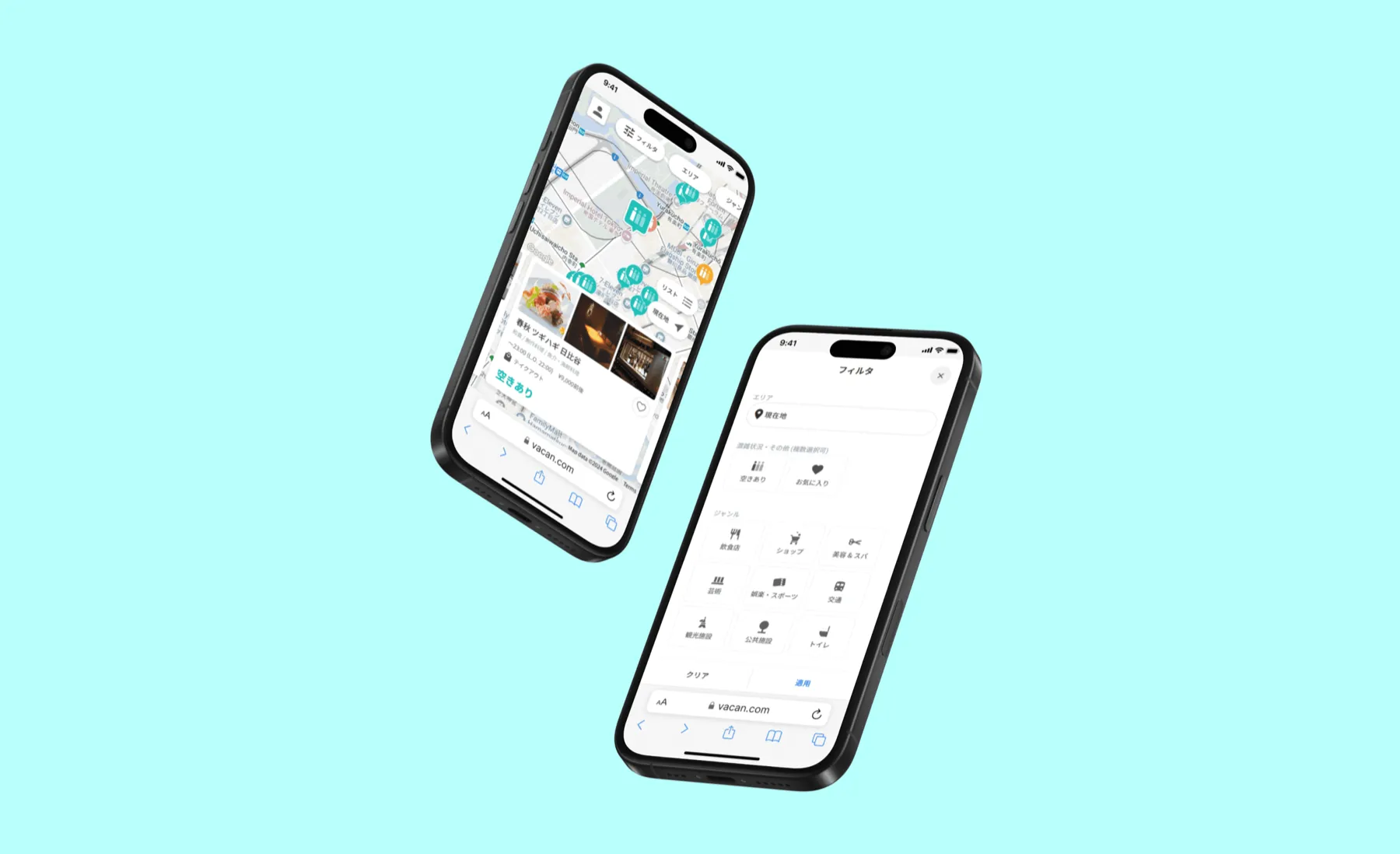
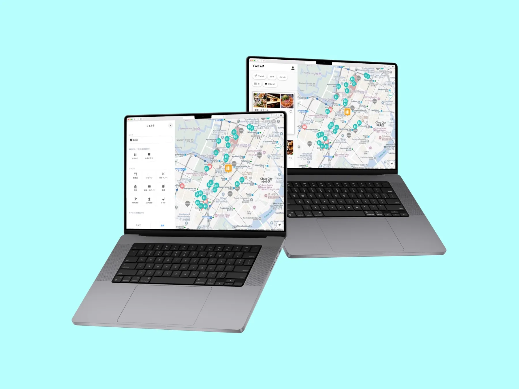
A status system, plus motion that reads as "live".
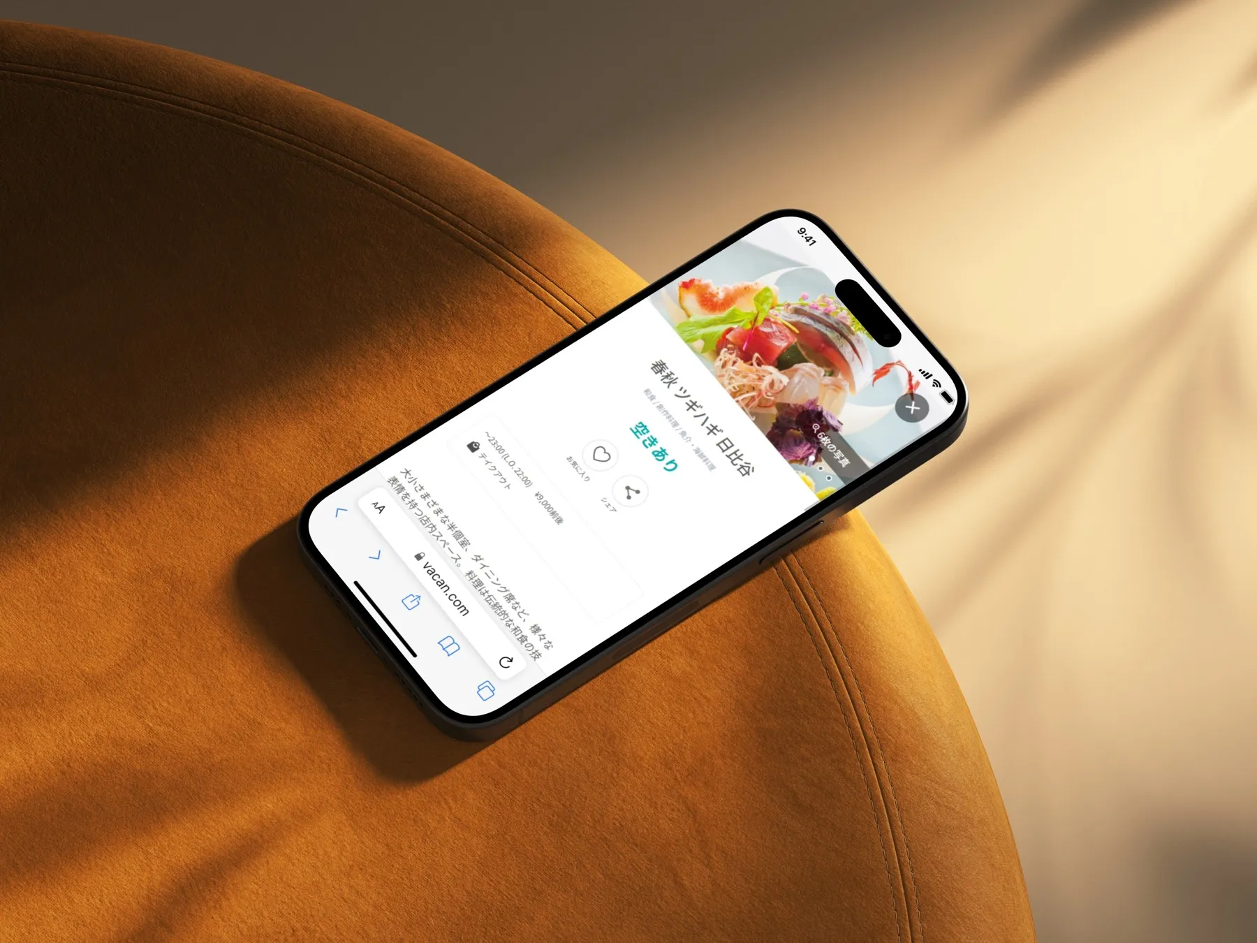
I built a clear density system (colour, iconography and labels that map to real occupancy), then designed motion in Lottie and After Effects so updates feel continuous rather than jumpy. Research grounded the thresholds so the states matched how people actually judge "busy".
Recognised by two international design juries.
The redesigned Vacan Maps went on to win the Good Design Award (2021) and the iF Design Award (2023), two of the most respected marks in the field.
[ADD METRIC — e.g. usage, coverage or engagement change post-redesign]